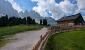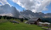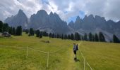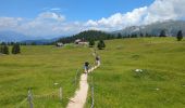
Puez Geisler - Gschnagenhardt et Glatschalm

VacheKiri67
User

Length
10.4 km

Max alt
2018 m

Uphill gradient
412 m

Km-Effort
15.9 km

Min alt
1659 m

Downhill gradient
408 m
Boucle
Yes
Creation date :
2024-07-15 07:58:15.99
Updated on :
2024-08-01 12:13:58.252
4h38
Difficulty : Medium

FREE GPS app for hiking
About
Trail Walking of 10.4 km to be discovered at Trentino-Alto Adige/Südtirol, South Tyrol, Villnöß - Funes. This trail is proposed by VacheKiri67.
Description
Faite le 15/07/2024.
Petite variante d'après "Wandern in Südtirol : Eisacktal, das Tal der Wege - 90 Zur Gschnagenhardt und Glatschalm im Naturpark Puez Geisler in Villnöss". Durée indiquée pour le circuit : 3h15. Parking payant au Zanser Alm.
Bonnes chaussures indispensables.
Positioning
Country:
Italy
Region :
Trentino-Alto Adige/Südtirol
Department/Province :
South Tyrol
Municipality :
Villnöß - Funes
Location:
Unknown
Start:(Dec)
Start:(UTM)
711441 ; 5168325 (32T) N.
Comments


 SityTrail


